Maps of the Nile.
**All of these images are thumbnailed,
you can get a bigger version of each image by clicking on it.**
Click here if you want to
see all the images on this page as full size instead of thumbnails,
Warning: Slow loading time on a modem!!!
 |
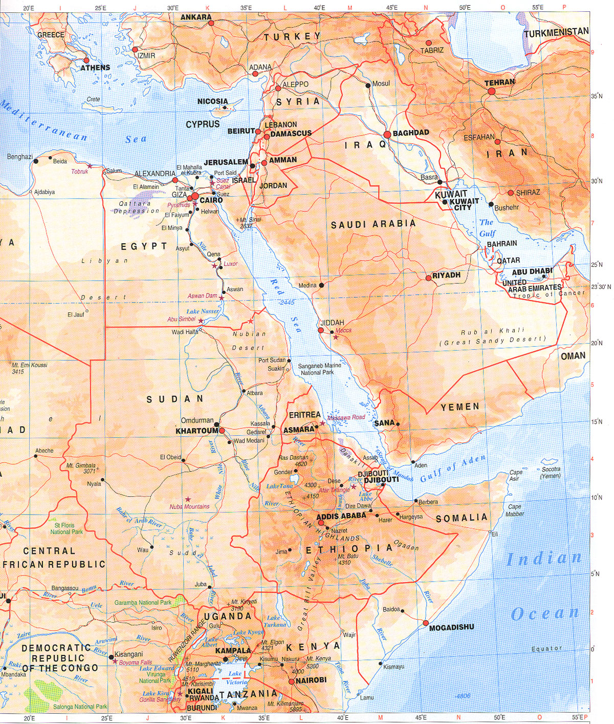
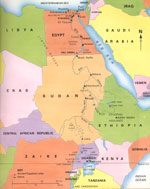
Someone scanned and emailed this map to me, its the best one by
far. My thanks to them. |
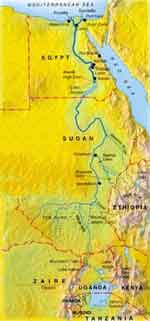 |
Modern map of the Nile. |
| |
|
 |
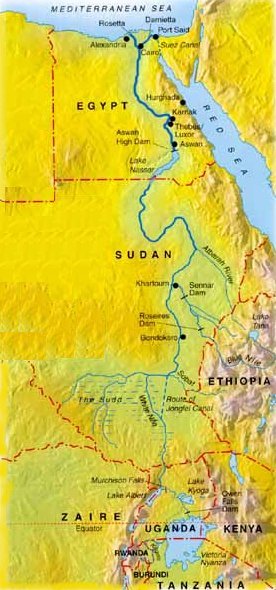
A clearer modern map of the nile. |
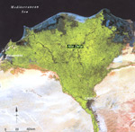 |
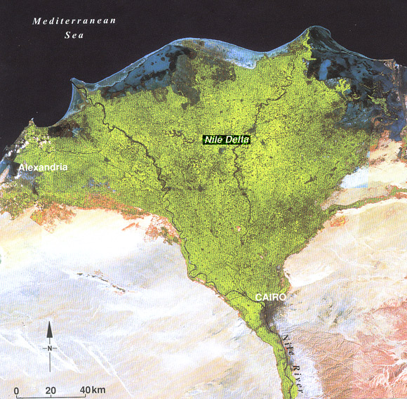
Satellite photo of the Nile River delta.
The black area at the top of the photo is the Mediterranean Sea. |
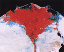 |
False color satellite image of the Nile Delta, Red
means Water, Blue means buildings, and white is desert. |
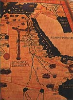 |
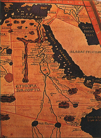
This is an ancient map drawn by Poltemy, although
old the map is surprisingly accurate. |
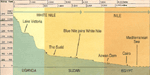 |
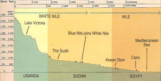
Shows the height above sea level of the Nile at different
points. |
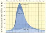 |
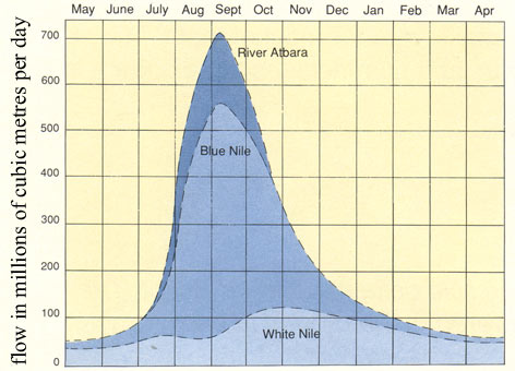
Shows the flowrate of the Nile at different times
at the year. |
|